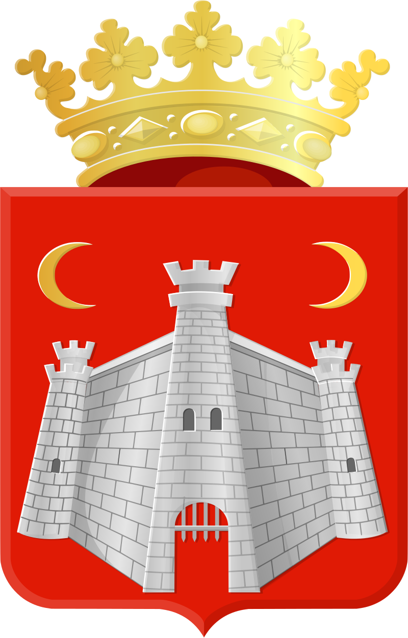
The municipality of Doesburg, which only includes the town of the same name, had 11,081 inhabitants on January 1, 2024 and is located at the mouth of the Oude IJssel into the IJssel, 10 km west of Doetinchem, 4 km east of Dieren and about 14 km northeast of Arnhem. The nearest highway connection is the N317 (3.5 km), which leads to the A348 Arnhem-Dieren (municipality of Rheden).

 Doesburg is of strategic importance due to its location on a river estuary. The town was, as the majority of Dutch historians believe without historical evidence, close to the Drususgraben (Dutch Drususgracht) waterway dug by order of Nero Claudius Drusus. Doesburg is of strategic importance due to its location on a river estuary. The town was, as the majority of Dutch historians believe without historical evidence, close to the Drususgraben (Dutch Drususgracht) waterway dug by order of Nero Claudius Drusus.

Doesburg was first mentioned in documents in the 11th century. The village, located in a moor, was granted town rights in 1237. Doesburg was destroyed by a flood in 1342 and a town wall was built a year later. From 1286 until it was taken over by the Protestants in 1586, the Teutonic Order had the patronage of St. Martin's Church, i.e. the right to appoint the parish priest. Due to trade and shipping on the IJssel, the town flourished in the 15th century and joined the Hanseatic League in 1447.
When the Doesburg river port began to silt up and the IJssel was plagued by low water levels, the decline began. Nevertheless, in 1697, the fortress builder Menno van Coehoorn provided it with a strong, modern fortification. In the course of the Wars of Liberation, allied troops of the Northern Army captured the Doesburg fortress on November 23, 1813, where French troops had entrenched themselves; the French surrendered on the same day[2].
Until the early 20th century, Doesburg was a provincial town whose medieval town center was largely preserved. In 1923, its military status as a fortress was dissolved, allowing the town to expand. At the end of the Second World War, it was fiercely contested; in April 1945, retreating German troops destroyed the tower of the Martini Church, among other things, which was later rebuilt true to the original. In 1974, Doesburg was declared a Beschermd Stadsgezicht (cityscape under monument protection). |
|

